EU JRC Global Forest Cover 2020
2025-03-06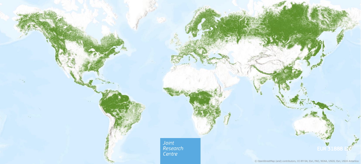
The Joint Research Centre (JRC) forest cover map provides a uniform and globally consistent map of forest cover in 2020 with a resolution of 10 metres. The data is available free of charge and without restrictions.
Based on data sets on tree cover, tree height, land cover and land use, the maximum forest extent is determined. This is refined by overlays, decision rules and the exclusion of certain areas such as agricultural plantations, shifting cultivation or wetlands in order to identify the forests according to the FAO definition.
Further information can be found here.

Technical Implementation and Operation:

Financed by: